All about the Staten Island neighborhood St. George:

Staten Island is broken down into 14 different zip codes from 10301 to 10314 and into 67 different neighborhoods. Throughout this series of blogs, we will be discussing each and every neighborhood on Staten Island as well as breaking down the history, what stands there today and transportation and what community district it falls into. Staten Island is broken up into three different community districts which are: North Shore, Mid-Island, and South Shore.
Today we will be breaking down all the history about the Staten Island neighborhood, St. George. This neighborhood is home to the North Shore & the zip code 10301. The point at which Kill Van Kull enters Upper New York Bay near the northeastern edge of Staten Island in New York City. It is Staten Island's most densely populated area and the seat of both the borough's and Richmond County's administrative offices. This area also houses the St. George Terminal, which serves both the Staten Island Railway and the Staten Island Ferry. Tompkinsville neighborhood on the south and New Brighton neighborhood on the west encircle St. George.
Lenape Native Americans first settled in St. George, which was later colonized by the Dutch and the British. The region was a summer resort until the late 19th century, when the first residential buildings appeared. Until the ferry-railroad terminal was built in 1886, the area now known as St. George was regarded as a part of what is now New Brighton. In honor of developer George Law, who Erastus Wiman vowed to "canonize" in return for giving up the property rights for the terminal, the area surrounding the present-day ferry and railroad station was. named. In the early 20th-century construction in St. George resulted in the creation of a number of government structures and landmarks, and early 21st-century improvements on the waterfront followed.
Many British, Dutch, and French inhabitants were there when the territory was turned over to the British, but they lacked clear ownership of the land. The 340-acre "Duxbury Glebe" was one of them. It was donated to Ellis Duxbury in 1708, left to the Protestant Episcopal Church of St. Andrew's a decade later, and then leased for 54 years by John Bard in 1765. In 1680, Lambert Jansen Dorlant received a second parcel, the western border of which was a creek on Jersey Street today. It was bought by Salmon Comes, who operated a ferry to Manhattan, in 1748. By 1765, John Wandel, a molasses distiller who took advantage of the Jersey Street stream to run a facility at the Kill Van Kull at Richmond Terrace and Westervelt Avenue, acquired a portion of the Dorlant land. Near the distillery, there was an intersection of two Native American roads: the North Shore's Shore route (today's Richmond Terrace), and a route that looped south on St. Marks Place before turning into Hamilton and Westervelt Avenues.
During the American Revolutionary War, the British built a fort on Duxbury's Point, also known as Duxbury Point, on one of the hills overlooking the harbor. The British used Hessian soldiers, who were stationed close to the creek on Jersey Street, afterwards known as Hessian Springs. The region remained mostly rural after the conflict until the early 19th century. After Castleton's incorporation in 1788, the land was included in the town. In 1799, the state of New York appropriated 30 acres from Duxbury Glebe and built the infectious illness hospital known as the New York Marine Hospital there.The federal government then received 5 acres from the state for a lighthouse complex known as the U.S. Light-House Depot Complex.
The former U.S. vice president Daniel D. Tompkins, who bought land on Staten Island's northern region in the early 1810s, was one of the first to advocate for the extensive development of the island. Additionally, Tompkins established the Richmond Turnpike Company in 1816 to construct today's Victory Boulevard, launched a ferry service to Manhattan in 1817, and plotted out the neighboring community of Tompkinsville between 1819 and 1821 for future growth. Davis eventually acquired ownership of the whole northeastern side of Staten Island, which is bordered on the south by Victory Boulevard, on the west by Sailors' Snug Harbor, and on the north and east by the waterfront. The first five Greek Revival summer cottages were built in 1835 as part of his intention to transform the region into a resort town called New Brighton. Shore Road was renamed to Richmond Terrace. In 1836, Davis sold the project to a five-person syndicate for $600,000, and in April of that year, the New Brighton Association was formally established.
Many of the streets in northeastern Staten Island were named after important politicians when they were first planned out by the New Brighton Association, with names like Hamilton Avenue, Jay Street, and Madison Street among them. Other streets were named for persons or places that were linked with the establishment of the neighborhood, like Tompkins, Davis, or the Stuyvesant family. By 1853, the factory employed over 180 people and was home to a small residential and commercial neighborhood. The opening of more companies of a similar nature caused New Brighton's population to double between 1840 and 1860. The Union Army's need for supplies initially caused the local economy to suffer, but as a result, many business owners and workers relocated to New York City, especially to Staten Island's North Shore. The Second Empire style and/or duplexes were used to construct a number of new homes at this time, especially on as-yet-undeveloped properties along Westervelt Avenue or St. The North Shore experienced a surge in real estate values after the Civil War as a consequence of less expensive building materials and technical advancements. By the early 1870s, locals were describing the region as rich and in great demand for real estate.
The businessman Erastus Wiman, who was extending the Staten Island Railway to New Brighton, allegedly promised to "canonize" Law if he agreed to give up the property rights for a new railroad-ferry station there, stated as per the island historians Charles Leng and William T. Davis. Since George is the location that is the closest to Staten Island and Manhattan, a distance of around 5 miles, it was chosen for the terminal. In addition to three Staten Island Railway routes—the North Shore Branch to Elm Park station (later to New Jersey), the East Shore Branch to Tottenville station, and the South Beach Branch to South Beach station—it was serviced by a Staten Island Ferry route to Manhattan's Whitehall Terminal
The North Shore rapidly developed in the years following reunification, and Staten Island's political and economic core relocated there. Due to convenient ferry access and its merger with New York City, George has become increasingly urbanized. Following the union, Staten Island also received more city services including schools, emergency services, new roads, and utilities like an underground water supply.
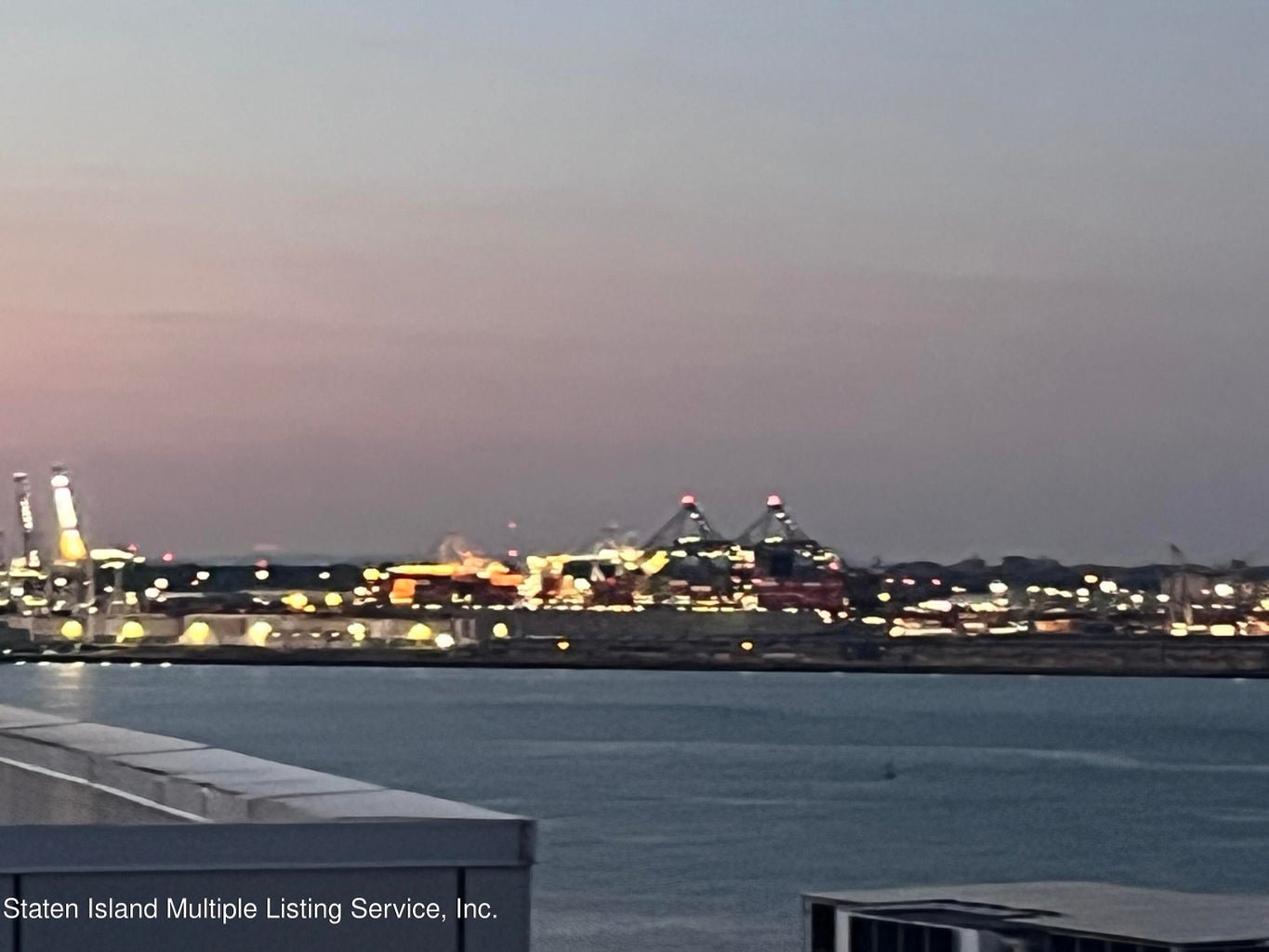
The neighborhood is served by the 120 Police Precinct located on Richmond Terrace as well as the FDNY Ladder Co. 155/ Ladder Co. 78 located on Brighton Avenue. The Postal Service is based in Bay Street for the neighborhood St. George and the NY Public Library location at Central Avenue. At Richmond Terrace and Bay Street, there is a ferry, railroad, bus, and park and ride facility called St. George Terminal. The most recent renovation was made in 2005 after it was initially constructed in 1886. A panorama of the port and approaching ferries may be seen. Almost all Staten Island bus routes, with the exception of the S53, S54, S55, S56, S57, S59, S79 SBS, and S89, as well as the Staten Island Railway and the Staten Island Ferry, stop at St. George Terminal. Additionally, the NYC Ferry's St. George route provides service to St. George. In addition to everything St. George offers, it has a few elementary schools and High Schools from P.S. 16, P.S. 31, P.S. 74, Curtis High School & Ralph R. McKee Career and Technical Education High School.
As you may see, Staten Island exudes so much history that is still honored throughout our neighborhoods. St. George is home to many people from Staten Island. The neighborhood is covered in every corner with many food spots, transportation, parks and schools. This neighborhood is worth learning more about and living.

Looking to buy or sell your home on Staten Island? For all your real estate needs, look no further than Tom Crimmins Realty! Give us a call at (718) 370-3200, and we can provide you with professionally-trained agents who are flexible to all that you’re looking for!
Posted by Tom Crimmins Realty on
Leave A Comment